Showing posts with label Woodstock. Show all posts

Thursday, January 17, 2013

Boulter Farmstead, Woodstock

     In Meecham's 1880 Atlas of Prince Edward Island it shows Henry Boulter living on this property.  In the 1928 Cummin's Atlas of Prince Edward Island still shows Henry Boulter (probably a son by the same name) owning this property.  Cummin's Atlas lists the following information for each property - Owner; address; wife's name; and children's name.  Here is the information for this house -  Boulter, Henry; P.O. Coleman; Wf. Ann Roseina; Ch. Elvin, William, Ella, Ada, May.
     Today the Boulter family still owns the property and live in an adjacent bungalow.  The house was left vacant in the early 1970's when the family moved into a new bungalow- no one has lived in it since.
     The middle peak above the house is the barn in the background - it's not attached to the house.  The large size and height makes it look closer than it is.
     The old "Island-ell" style farmhouse is located on the east side of the Western Road in Woodstock just before the O'Leary Corner/Roundabout.
     I took these photos on December 27th, 2006 - the house and barn are still there.

Friday, September 2, 2011

St. Anthony's R.C. Church, Bloomfield (Woodstock)

This church was built in the 1870's.  The following comes from  A FAITH WALK: Diocese of Charlottetown by Revd Art O'Shea, page 46.  "For the first 75 years this parish had its center at Cascumpec where as early as 1803 eight Acadian families lived and soon built a log chapel...With the shift of population more to the west, the parishioners in the mid 1870's built the present day St. Anthony's Church at Bloomfield (Woodstock)... Enlargements and fine finishing especially the superb interior woodwork, continued for the next quarter century."
Above/Below: the southwest view.  The church's steeple was struck by lightning in July 1890 and by quick response of the priest and parishioners they got up into the steeple and sawed off the burning spire before it got to the rest of the church - that's why the church has an unusual squared-off steeple today.
Below: Front view facing the road, south.  The church is located on the corner of Rte. 2 and Rte. 143.
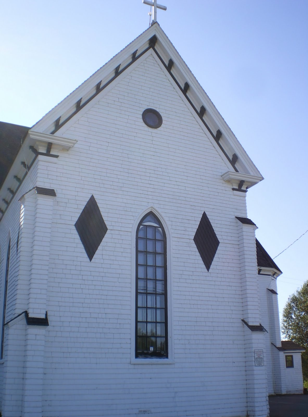
Below: east side of church facing Route 2.
Below:  Northeast corner.  The roof of the church is wood cedar shingles - not many churches around with wood roofs anymore.
Fore more information about the church see the Historic Places website:  http://www.historicplaces.ca/en/rep-reg/place-lieu.aspx?id=15242
Below:  the rectory is a center gable styled house built in 1878 - the wrap around verandah was built on later.