Showing posts with label PEI Farmhouse. Show all posts

Tuesday, September 23, 2014

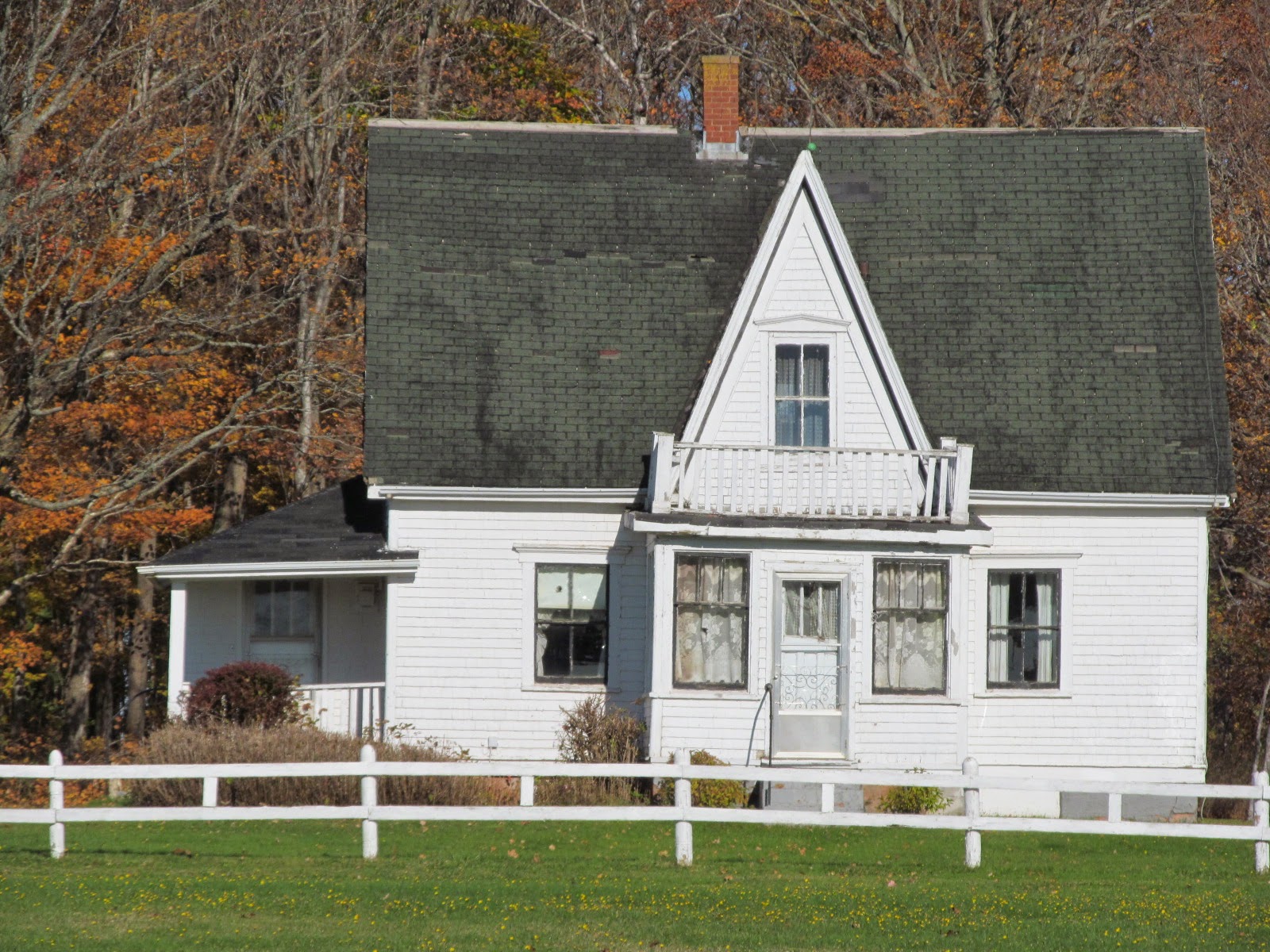
Cairn House, Blue Shank Road - destroyed

     There's been too many old buildings disappear on the Island this summer, including this old farmhouse on the Blue Shank Road in Kelvin Grove.  It was destroyed recently - probably by a "control burn" by the local fire department.
      The old Cairn's house appeared on the covered of Saltscapes Magazine five years ago this month.
Sep-Oct-09
     Below are photos I took yesterday, Sept. 22, 2014 of what's left of the house - the foundation with charred remains.   A few weeks earlier I noticed piles of clay behind the house - I suspected something was going to happen here as the house has been vacant for more than ten years.
Below: all that remains is a small barn.
     I took the following photos of the house on October 26, 2012 just after the large barn on the property was demolished - it had earlier been damage from high winds.

Monday, May 19, 2014

Abandoned Homestead, Nail Pond

     Further up the road on the North Cape Coastal Drive (Rte. 14) I stopped in Nail Pond to take a photo of this abandoned homestead nicely situated with the Northumberland Strait in the background.  The farmland runs down to the shore - we Islanders call these farm fields, "shore fields".
     Every time I research a property on Prince Edward Island I take notice of the property identification number (PID) - today our PID's are six or seven digits.  Our family farm in Alma, settled in 1860, has a five digit PID - I always thought that was an old property number.  I was surprised to see the property number for this farmstead is a four digit number - this is an old property!  
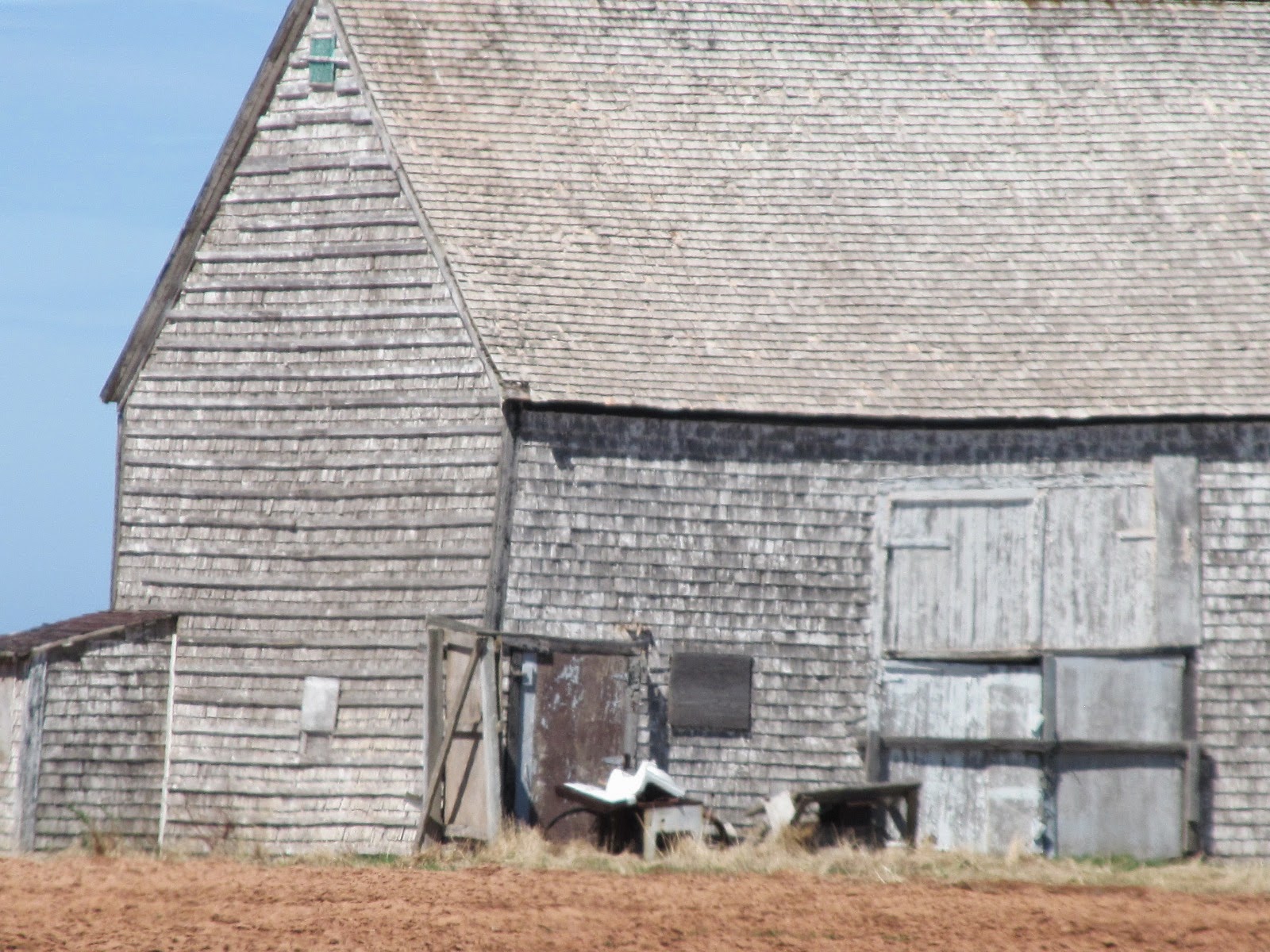
     I was more interested in the old barn - possibly dating to mid-late 1800's.  The house I would guess to be in the 100 year old range.
      The barn is completely covered with cedar shingles - roof and walls.  The proportions indicate a very old barn. 
      Meachams 1880 Atlas of Prince Edward Island shows Prospere Gallant living here with 35-acres.
     Cumins 1928 Atlas of Prince Edward Island shows John DesRoches living here with 35 acres.  They list his wife as being Elizabeth with the following children:  Roderick, Gilbert, Delima, May, Nelson, Peter and Edwin.
     The current owners live nearby - they aren't Gallant or Desroches.

Friday, May 16, 2014

Keefe Farm, Est.1835, Kinkora

     The Keefe Farm is located on Rte. 225 beside the Confederation Trail in the rural community of Kinkora.  Parts of the house date back to the mid-1800's
The barn was built in 1964.

Saturday, January 4, 2014

Abandoned House and Barn, Dundas

      I took these photos in May 2009.  The house and barn are located in Dundas at #4371  Annandale Road (Rte. 310) not far from the side road, Dundas Farms Road.  
     Years ago there was a large farm in this area - something to do with PEI Government and an experimental farm.  I don't know more than that.  
     The house style is unusual for a rural setting.  It's an asymmetric, confused Queen Anne-like style with many additions and detailing.  It features three bay windows - on the left the bay has a square projecting dormer above; on the right a simple bay window with hipped roof; and on the front a 2-storey bay appearing as a set-in tower with a bell roof.  The house has a trapezoid gable/attic window and much gingerbread from eave brackets to verandah detailing.  The shed roof porch on the right front and side was likely once an open verandah.
     Here's a link to a 360 degree view of the large room on the main floor, left side of the house.   It looks like alot of files, file cabinet, etc. - must have been used as an office? Interesting!
     Here's one of the barns on the property - there are 5 or 6 more - I just photographed the older barn.  All is abandoned!

Monday, November 18, 2013

Farmhouse in Fernwood

     Also on my travel through Chelton and Fernwood I took a couple of photos of this nice old Island-ell farmhouse - seemingly abandoned.
 Above: South facing front of house.
Above: Right / East side of house as you drive up the road.


Friday, October 18, 2013

Cavendish Baptist Church

     I was in Cavendish a week ago and took these photos of the Baptist Church.  The church is located in Cavendish on the Cavendish Road (Rte. 6).
 Above: Southwest view.
 Above: South view, facing Cavendish Road.
 Above: Note the detailing c/w decorative cut shingles in the round pattern.
 Above: Southeast view.
 Above: East view.
      To the east of the church is this monument to the first settlers of Cavendish in 1790.
     Below:  While still in Cavendish I drove down the long lane to the Reg Simpson house, owned today by Parks Canada - I took a few photos here below.  See the previous blog post about this property http://peiheritagebuildings.blogspot.ca/2013/09/reg-simpsons-barn-cavendish.html
     Above: Rear/North view.  Below: looking down the long driveway towards Cavendish Road. 
 Below: an old shed on the Simpson farm.
      Below is an old farmhouse, moved from nearby to his location on the Mayfield Road about 20 years ago.  It's on the south edge of Cavendish as you go towards New Glasgow.  This is a vacation rental property owned by the Wyand family. 

Tuesday, September 24, 2013

Robinson's Island

     I found this story and photograph on the net a few years ago and printed it off.  It was on isn.net (Island Services Network) web provider, however, it seems to be gone.
Kevin S. Robinson 1998
The History of Robinson’s Island
Robinson's Island
by Isabel (Woolner) Beaton
c. 1948
School writing project, North Rustico, P.E.I.
            We get a very good view of the west end of Robinson’s Island from our front yard and I have always been very interested in it and asked innumerable questions about it.  The mere fact that it is an island holds a particular magic for me.  In this way I have learned many things about it, so that I feel I can describe it as fully as anybody expecting the few who have actually lived on it.
            This island reaches across the mouth of Rustico Bay and is separated from North Rustico by a rough stretch of water, locally called “Big Harbour”, and from Brackley Point by a shallow stretch, called "Little Harbour".  It is approximately three miles long from west to east and its greatest width is about one mile.  There is almost two hundred acres of upland which used to be mostly cultivated.  Then there is considerable swamp land and a wide expanse of sand dunes on which cranberries grow in great abundance.
            This island is a very charming soot.  To truly appreciate its beauty you need to view it from the air, preferably on some sunny day in June.  Then you will see a blending if gorgeous colours, the dark green of the evergreens, surrounded by the lighter green of the eel grass, stretching into to the brilliant sand dunes, and all set in blue crystal water.  It is a picture you will remember as long as you live.
            Quite early in the 1800s a settlement was established on this picturesque island by the Robinson’s and the MacAusland’s who were followed by other families.  Fishing was done extensively from here in the days of the sailing boats.  A fish factory was in operation, a school was built and Robinson’s Island was thriving.
            Gradually this changed.  The fishermen went elsewhere.   The factory ceased to operate, the schoolhouse long since closed and very early only one family of Robinson’s was left on the island.
            Many tales could be told about this family.  The nine children all were educated in Barkley Point School.  They walked about a mile over sand dunes, then by boat across the harbour and two and a half miles farther to the school.  Other times they tell of swimming cattle and horses across to the mainland, of taking wagons and produce by scow, and there always was the unending number of times when the crossing was impossible on account if streams and ice in the spring and fall.  These varying accounts are what have thrilled me the most.  Yet this family described them quite an ordinary time, as just the usual events in the run of a year.
            After most of the family had married and left home the father had sold his holdings, in 1929, to Percy MacAusland (a descendant of the original settler).  Since then nobody has lived on the Island though farming was still carried out until 1937 when the whole island was bought by the Federal Government to become a part of the National Park.  The authorities done nothing to develop the island and now all the upland is completely overgrown with Spruce and Fir.  The last building has fallen down and the island possibly appears very much as it did to those first settlers over a century ago.
            However Parks officials are planning a big change for the island.  Surveying was done this summer and plans are being laid to bridge from North Rustico to the island, build a road across it and a causeway to Brackley Point.
            When these plans materialize the forgotten little Island will again flourish, it will become a haven for tourists and possibly the most loved part of our national park.
            Perhaps you noticed that I called it Robinson’s Island and not Rustico Island as some maps do.  I have several reasons for this.  Rustico explains its situation, but it also gives the impression that it was part of the Acadian settlement.  This was never so.  The Island was settled from Brackley Point largely by Robinson’s and all the whole history of this settlement was something of the personality of this family and very few would ever call it by any other name.

Saturday, September 21, 2013

Weeks House, Fredericton

     I took the following photos of the old Weeks farmstead back in May of this year and now just posting them - it's still for sale.
     Stephen and Ann (Large) Weeks established this farm on the Malpeque Road (Rte.2) in Fredericton in 1830.  They first built a log hut down by the stream below the present house.  Within a few years they built a better house a bit up the hill.  Then another few years a bit larger house further more up the hill.  Then they build a 1850's central fireplace style, post and beam house which sat across the driveway from the present large house - it was still on the property and used as an outbuilding as late as the early 2000's. 
     Stephen and Ann's son "John Weeks" took over the farm from them.  He married Charlotte Howard.   Meecham's 1880 Atlas of Prince Edward Island shows John Weeks owning 125 acres on this farm.  
     John and Charlotte's son "Heber Weeks" took over the farm next.  He married Edith Brehaut.  Cumin's 1928 Atlas of Prince Edward Island shows Heber still owning the original farm of 125 acres.  The Atlas also notes that Heber and Edith with two children: Raymond and Boyd, later they had a sister Hazel.  Heber built a new 2-storey house similar to the present house around 1900, however, within a decade they lost it to fire - they moved across the driveway to the old central chimney house till this present house was built.
     The next to take over the farm was "Boyd Sheldon Weeks".  He married twice with not much luck and had no children.  Boyd died in early 2007.  
     The farm was sold to another branch /cousins of the Weeks Family - today they have it for sale. 
      I took the following three photos in the May 2007.  Since these photos a young couple bought the house and started to fix it up.


Monday, April 15, 2013

Cornish Farmstead, Carleton

     I've been meaning to photograph this old farmstead for the past year - with the recent clearing of the woodlot next to the property I took time yesterday to take these photographs.
     This was the childhood homestead of my friend Judy's grandmother Ruth Cornish Adams.  Ruth's younger brother Russell farmed here after their parents were gone.  Following the death of Ruth's husband she moved back to the homestead to help her brother with house-keeping.
     Following Russell's death a family member now owns the property - the house has been vacant now for near 10 years.
     The farmstead is a long way from the road, especially this time of year, mud season!  I would liked to have gone in to get some closer photographs but I was just as happy to stay at the road and use my zoom lens!
     The farmstead is located on the east side of the Western Road (Route. 2) in Carleton (between Coleman Corner and O'Leary Corner).
     In Meacham's 1880 Atlas of Prince Edward Island this 100-acre farm belonged to Jno. Beaton.

     In Cummins 1928 Atlas of Prince Edward Island show this 100-acre farm belonging to William Cornish.  It lists him as being married to Jennie ? (born in Maine, USA) with the following children: Eurilla, Earl, Alfred, Russell, Samuel and Ruth. 
     The old barn seems to be in reasonably good condition.  It's quite old and features few windows, no eave boards, and has the classic arrangement of small doors and large barn door on the front facing south wall.
     The forest that's being cut to the right doesn't belong to this farm.  Always when I drove by this farmstead I would look in to see it, it seemed like it was carved out of the forest and the farm set far into the woods.   But not now!  The old house and barns seem to have been exposed after all those years.